Darwin
The last few weeks I and especially Annina have been missing a real bed so we decided to sleep in a hostel in Darwin for two nights. We got a nice double room with a awesome bed and a fridge and it felt like a hotel in comparison to the car. We could also buy food that needs a fridge again like cold milk, cheese and butter. Hot showers as often as you want is also a great thing! I really liked the hostel. It had a lot of trees and plants that made it feel like an oasis in the middle of the city.

 Apart from relaxing and enjoying our new comforts in the hostel we also went out and explored Darwin. The city is named after the famous Charles Darwin by a friend that wanted to show him respect. The city is quite big for being so far away from everywhere else, around 100.000 people live in the area. One of the attractions we visited was a Taoist/Buddhist temple. There is a lot of Asian people in Darwin (especially Chinese) and they built the original temple in 1887. In 1974 cyclone Tracy destroyed the temple and the building you can see today is a rebuilt version. During WW2 Darwin was bombed by the Japanese and their oil reserves destroyed. The city decided to build underground storage tunnels to protect the oil from the air raids. But by the time the tunnels were completed the war was over. 50 years later the city opened the unused tunnels to the public and they are now the second most visited attraction in Darwin. Since I find stuff like that interesting I visited them as well. It was quite interesting to walk through these massive underground tunnels and to look at photos from WW2 that were on display on the walls.
 Because Darwin is so far north the waters are almost always filled with box jellyfish which makes it extremely dangerous to go swimming in the ocean. On top of that there is always a crocodile threat in Northern Territory anywhere where there is water. To make people happy the city has created a project called the waterfront precinct where there is a beach with nets out in the water to stop the jellyfish and a wave lagoon next to it. The wave lagoon was a fun place to relax. Every half hour they make waves for the people to enjoy. You can either just swim around and have fun or grab one of the free bodyboards and go play. When you are bored of the water you can lie down on a beach chair and enjoy the sun. From the waterfront precinct we walked along the coast back to the hostel. The path took us through the Bicentennial park, a long park with lookouts, benches and plagues. My first impression of Darwin were not that great, but it changed as I explored the city.
We went to the Northern Territory museum and art gallery on our last day in Darwin. Originally we planned to be there for about an hour, but it turned out to be much more interesting than I first thought. It was a nice blend of art galleries and museum exhibitions. Among the highlights was a gallery of indigenous art, a natural history of Northern Territory exhibition, an exhibition about cyclone Tracy and a crocodile exhibition. I think we spent over three hours looking at everything and we still had to hurry through the last few things. I found the natural history section especially good. I took a lot of photos to try and show some of the things that I liked. Here is the album I made from our visit:
Museum and Art Gallery of the NT: 02. June 2010
http://picasaweb.google.com/fatsheep/MuseumAndArtGalleryOfTheNT
Litchfield National Park

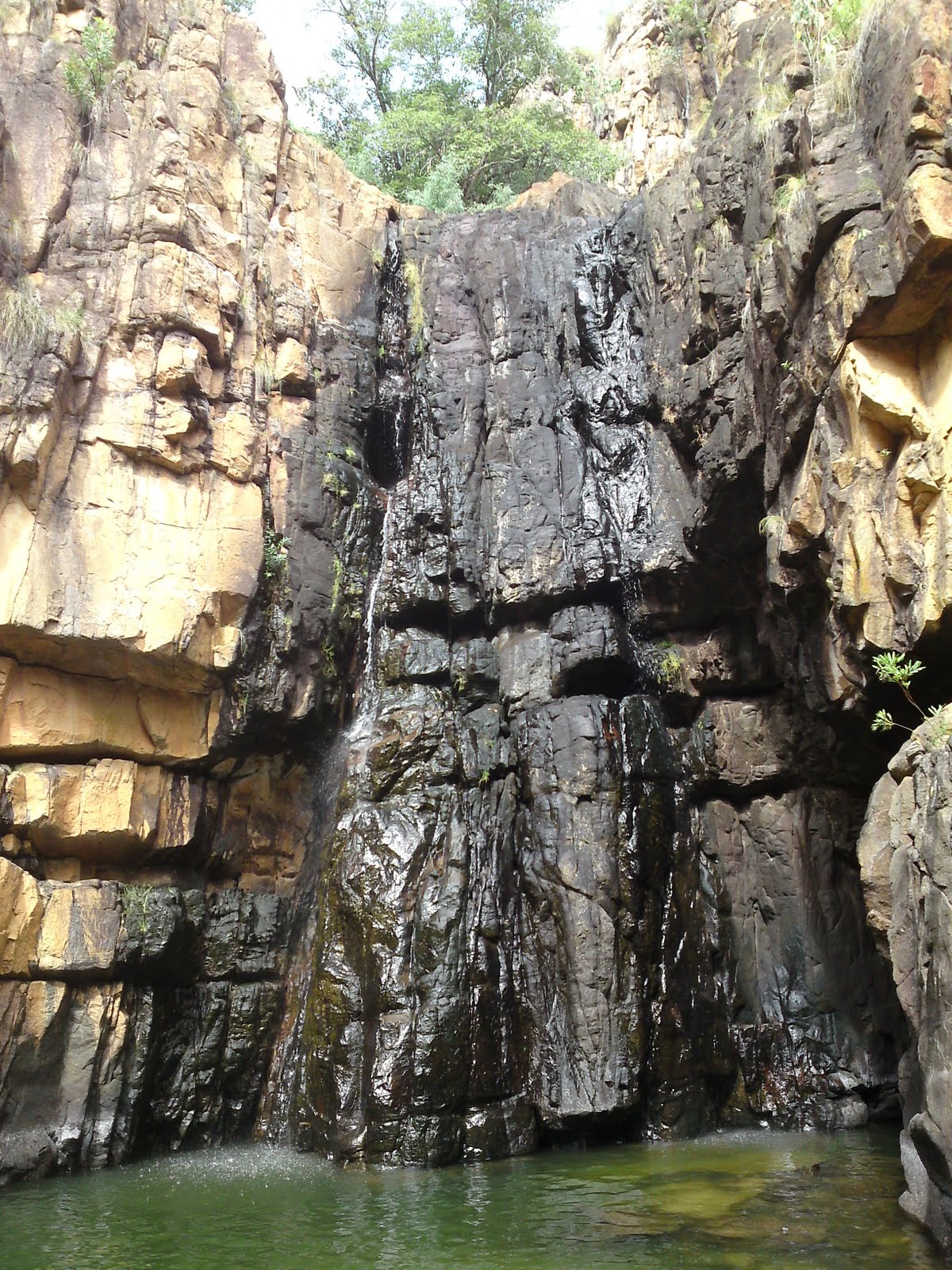
 We finally had to leave the NT museum and art gallery before it became to late to drive to Litchfield national park. Litchfield is located just south of Darwin and is a popular getaway for locals and tourists alike. There are many waterfalls and plunge pools to swim in and the area is rich in natural beauty. We arrived at a place called Florence falls that afternoon and went for a quick swim in the pool below. You could swim right through one of the two waterfall to a small hollow behind it. Big rocks were visible just under the surface in the middle of the pool and you could sit on them and relax. A few kilometers upstream is a place called Buley rockholes. Here a series of small waterfalls form several rockholes that are ideal for swimming in as well. It was getting to dark to go swimming, but we came back the next day. That night we camped at a campsite next to the rockholes.
 Our first destination the next morning was a place called The Lost City. From the main road we had to drive a 4x4 track 10km into the woods. At the end of this road is the "Lost City". The place looks like ruins from a lost civilization. However it is just stone pillars and walls remaining from what was once a permanent layer of rock many many years ago. The place is still very impressive. We walked along the short track between the stone formations and it really did feel like it could have been an ancient civilization living there thousands of years ago.
 Our next stop was the Tolmer falls lookout. The falls are not accessible to the public, but there is a walkway to a lookout with great views of them and the surrounding landscape. We then drove to Wangi falls. It is usually a great place to swim, but it was now closed due to increased crocodile risk. The Wangi falls are two waterfalls next to each other both plunging into the same pool below. Since we couldn't go swimming we walked the walking track around the falls instead. It went through moonsoon rainforest at the bottom before climbing up the cliff to the top of the falls. Here we had a great view of the forest below. It was after the Wangi falls walk that we drove back to the Buley rockholes to swim.


 On the way back to Darwin we took a small detour so that I could go on a cruise on the Adelaide river. The cruise is famous for showing jumping wild crocodiles. As soon as we entered the boat we saw the first crocodiles swimming in the river. As we slowly cruised upstream the captain talked about the crocodiles living there. The ones that we saw were all saltwater crocodiles which are the biggest of the two species of crocodiles in Australia. They are also the most dangerous and can easily kill a human if they want to. They can get more than 6m long. From the second level of the boat a crew member was dangling pork chops down over the water and crocodiles were jumping into the air to get them. These crocodiles were 100% wild and apparently all crocodilian reptiles have the ability to jump. It was an amazing way to see wild crocodiles close up and to learn more about them. The biggest one I saw was about 4.5m. On the way back down the river at the end of the cruise one of the crew also fed a group of predator birds. She through the food into the air and the birds caught it midair. All in all the jumping crocodile cruise was well worth the money. I left with awesome memories and great pictures.