It took us three full days of driving to travel the 2200km from Alice Springs to Cairns. We crossed over to Queensland on the way and passed a number of small and medium sized towns the biggest being Mt. Isa and Townsville. The road between Mt. Isa and a small town called Cloncurry was really nice. It went up and down through the mountains and the views were great. At Townsville the road hit the eastern coast and we had to head north to get to Cairns. That we had entered the wet tropics became quickly clear. We could see a lot of palms growing and the plantations along the road were bananas, sugar cane and other exotic fruits.

As we arrived in Cairns our money ran more or less out. Our comfort was that we would soon get more money, but in the meantime we had to wait and make due with what we had. Luckily Cairns has awesome free public showers with warm water. It's also easy to sleep in the car. Just find a parking spot in the dark away from the street lamps. In the week or so we camped in our car we only got asked to leave once during the night. Cairns also has nice picnic benches for cooking dinners. Not only is Cairns a good place to be for a broke backpacker, it is a nice city for anyone that likes warm days and tropic weather. The only thing it lacks is a beach, but it only takes 10 minutes north by car to find that. To make the days pass we used the free wifi at McDonald's a lot. We also went to the Cairns botanical gardens where I saw these two spiders!

I am sure some of you back home are following the Football World Cup in South Africa. The world cup fever is also noticeable in Australia especially among backpackers. We have been watching as many games as we can. The main problem is the time difference. The first matches start at midnight and the last ones as late as six in the morning. We have still watched a good deal of games, even the late night ones :) Almost every pub here in Cairns show the world cup games and a few have massive screens making it all the more fun. I am hoping USA wins, Annina is hoping for Germany, and we both hoped for Australia as well, but they are now out after the group stages.
North of Cairns

As soon as we got money again we headed north towards Port Douglas and Cape Tribulations. Our first stop was a beach called Trinity beach. Trinity Beach is a nice little beach about 20 minutes north of Cairns. We spent the morning swimming, relaxing and getting some tan again after a prolonged period away from the coast. We then continued on to a small town called Port Douglas. In Port Douglas we walked along the four mile beach and found coconuts that we could open. Opening a coconut proved to be a bit more difficult than first anticipated. But in the end we had a cup full of coconut milk and coconut to eat as well. To my surprise fresh coconut tastes more like almonds than anything else. The whole process took about a hour, but now I can say I have opened a coconut by my self.

The next morning we visited the Port Douglas market. The market is full of various vendors selling everything from fresh fruit and vegetables to hand made items. It took quite some time to navigate the whole place and look at all the different products available. The most interesting booth featured a man pressing the juice from sugar canes and making lemonade. It tasted delicious and refreshing.


We left Port Douglas that day and headed towards Mossman Gorge. Mossman Gorge is located in the south tip of the Daintree rainforest, a part of the world heritage listed Tropical North Queensland. Mossman Gorge is not really what I would call a gorge but it is still a beautiful place. The Mossman river trickles through the rainforest forming nice swimming holes and beautiful scenery. There is also a nice rainforest walk around Mossman gorge that we enjoyed. The rainforest is full of cool looking trees and vines growing around each other. We went for a swim after the walk, but the water was very cold so it was just a short dip under. It was so new and different to see a rainforest like the Daintree national park after coming from the red centre where there are hardly any trees at all.

From Mossman Gorge we decided to go north to Cape Tribulation. Cape Tribulation is another piece of the Daintree national park where the forest meets the ocean. To get there we first had to take a "ferry" across the Daintree river. Then drive a narrow and winding road through the hills along the coast. We stopped at the highest point of the road where a lookout has been made. Here we could see out over Cape Tribulation's beaches, rainforest and coastline. We spent the day exploring the cape, including boardwalks through the rainforest, beaches and more lookouts. The wet tropic coastline is home to a large flightless bird called the Southern Cassowary. It looks a bit like an Emu, but has a distinctive blue head. The Cassowary is almost extinct because of loss of habitat, dogs and traffic accidents. In the dusk before we camped we got lucky and saw a Cassowary with it's baby walking at the side of the road!


We now had two choices to continue our trip. Either head south again and take the "ferry" back or drive north on the Bloomfield track. We chose the second. The Bloomfield track is an even narrower and steeper dirt road running some 30km north from Cape Tribulation to south of Cooktown. It's 4WD only and this became clear right from the start. We had to cross several creeks with water over the road, drive up hills so steep I never thought the car would manage and traverse sections of the road that were only rocks. It was a lot of fun! Almost through the track we came upon roadwork. In addition to the roadwork vehicles a number of other people driving the opposite direction all had to figure out how everyone were going to pass each other. This was while standing in an impossible steep hill. It all worked out somehow :)

Safely on the other side of the Bloomfield track we continued north towards Cooktown. Along the way we shortly stopped at Black Mountain national park. Black Mountain is a large hill made up of big granite boulders scattered into a big pile. There is hardly any vegetation growing and the hill looks very odd in the surrounding landscape. Apparently magma from underground was pushed upwards and weather broke the granite into pieces as it surfaced. The color on the rocks comes from an algae growing on them.


Cooktown has it's name from Captain Cook, the man who first made European contact with eastern Australia. While exploring the region he crashed on the Great Barrier Reef and damaged his boat. The crew had to go to shore and fix the boat and the spot they chose is now Cooktown. Originally we hadn't planned to go to Cooktown, but since we were so close we did anyways. We had lunch and walked in the botanical gardens, visited the site where Cook landed and drove up the small hill in the middle of town to get a view of the surrounding landscape from the lookout there. We started our drive back towards Cairns and the Atherton Tablelands in the afternoon and camped at a free campsite along the highway. It was a good campspot that even had free cold showers.
Southwest of Cairns


Southwest of Cairns are the Atherton Tablelands. Famous for the many waterfalls in the region, it is an area of scattered villages, lakes and hills. My first reaction was that it reminded me of Europe. Annina also said that it looked a lot like Germany with the small hills covering the terrain. The sky was gray and it rained on and off for most of our time in the tablelands, but that didn't stop us from exploring the region. Our first stop was the village of Atherton and the Crystal Caves. The Crystal Caves is a museum of sorts specializing in gems and fossils. A fake cave system takes you through the different exhibitions. The museum has an astonishing collection of rare gems and the best part is that you can touch and photograph almost all of them. The main attraction is a gigantic amethyst geode. It is the biggest in the world and stands over 3 meters tall and weighs more than 2.5 tons. Inside are countless jewelry quality amethysts. The geode was very impressive. All in all the Crystal Caves were very entertaining and fascinating.


With rainforest's comes strange and amazing trees and one of the most fascinating ones is the fig tree. There are two great examples of fig trees in the Atherton tablelands. The first is called the Curtain fig tree and is a beast of a tree. Fig trees grow around a host tree and slowly kill them. This is what happened in this case as well and when the host tree died it fell sideways and got stuck on another tree next to it. The fig tree continued to shoot down roots to the ground slowly forming a curtain of roots. The Cathedral fig tree is the second great fig tree we visited. This one has it's name because it grew in such a way that you can stand inside it like a cathedral. Both figs are many hundred of years old and truly amazing to see.

Atherton Tablelands is a great spot to see a Platypus, an unique Australian animal that looks like a mix of a badger and a duck. We went to a small village south of Atherton where they had a Platypus viewing deck. We got very lucky because we saw a Platypus after just a few minutes waiting. It was swimming up and down in the water catching food and eating it. Because the viewing platform was a little bit away from the water the picture is not that great. It was the best I could do :)

The next morning we started the Atherton waterfall circuit. A series of waterfalls all located a short distance from each other in the tablelands. The ones we visited were: Malanda falls, Dinner falls, Millstream falls and Millaa Millaa falls. There are over triple as many in total, but it get's boring to go look at too many so we picked the (in our opinion) best ones. There are no really impressive waterfalls in Australia in my opinion, but then again I always compare waterfalls to Niagara falls. Still, the waterfall circuit was nice and worth doing. Fun fact: The Millstream falls are the widest falls in Australia.

A few hundred meters from the Dinner falls is a steep crater in the ground. The distance from the viewing platform at the top of the crater and down to the water that fills it is about 60 meters. Then there is another 80 meters underwater that has been verified. It is speculated that the crater goes much further than that underground. The crater was formed by a gas explosion due to a old volcano located not far away. The green color on the water is a layer of duck weed growing on the surface.

While having lunch at the Millstream falls we saw a group of Kookaburras, the birds that sound like they are laughing when they "sing". They were used to humans I think because we could get really close and make good photos. So for anyone wondering what they look like here is a picture.
On our way to Millaa Millaa falls we drove a scenic road along the hills of the tablelands. At some point along this road we must have punctured a tire, because when we arrived at the falls the air was almost gone from one of them. As I mentioned earlier the weather was also not that great with rain on and off for most of the day. We ended up having to change the tire in the rain next to the falls. Wet and cold we headed back to Cairns and a night in a hostel.

The last thing we did that I will write about in this blog post was the Crystal Cascades. Just a short drive from Cairns is a stream coming down from the hills and forming a series of beautiful cascades. A short walkway took us along the stream about a kilometer inwards. There was also swimming spots along the cascades but the weather was still gray and drizzling so we didn't go swimming. Every time I start writing a new post I tell myself to make it shorter so that it is easier to read, but I realize that this one is enormous as always. I hope the wall of text is not scaring you readers away :P. I promise the next few posts will be a lot shorter and I have some great things to write about as well. So stay tuned! Miss you all!


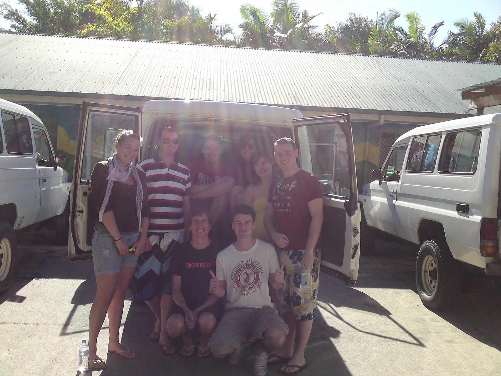
 Our next stop was Brisbane. Technically Brisbane is south of Fraser Island and a detour, but we drove the extra 100km south so we could watch the World Cup third place game and final. I was in Brisbane before during my second month in Australia so I am not going to go into details about the city now. What I can say is that I showed Annina around so she could see the city as well. Like I mentioned the main reason we were in Brisbane was because of the World Cup and we watched both games in the Brisbane casino. The casino has free entry, is open 24 hours and has lots of big screens so it was a easy choice. Germany secured the third place and Spain beat the Netherlands, but I am sure you all know that already. After the final was finished and we beat our car getting towed away by like 10 minutes, we drove straight to Rainbow Beach.


 The first thing we did was to drive to our campsite and set up our tents. Then we headed towards Lake McKenzie, the most famous freshwater lake on Fraser Island. The road to Lake McKenzie went inland through the rainforest and was not much more than a dirt track. The 11 kilometers to get there took over an hour to drive. Lake McKenzie was really beautiful, clear blue water in the middle of the rainforest with white sandy beaches around. In fact it was weird to see such a nice beach next to a freshwater lake, normally the beaches are next to the ocean? Me and Annina went for a short walk next to the lake and enjoyed the view. After Lake McKenzie we drove back to the campsite, made dinner and partied until late.
 Our first stop the next morning was a place called Eli Creek. Here a freshwater spring cuts through the forest out to the ocean. A boardwalk is available next to the creek and you can follow that inwards a few hundred meters. Then you can wade back out to the ocean through the creek. The deepest the water gets is just over the knees and the bottom is covered with sand, making it a nice little walk. After Eli Creek we drove further north along the sand on the east coast of Fraser Island until we came to Indian Head. Here we climbed up and had an amazing view both north and south. Out in the ocean we could see dolphins surfing the waves and really far in the horizon a whale was jumping and blowing water.
 Between Eli Creek and Indian Head is a shipwreck stuck on the beach called the Maheno wreck. Depending on the tide it is either half way underwater or all the way above. It must have been fairly low tide when we stopped because most of the wreck was above water. I am not sure how old it is, but it was very rusty. However, there was still a good portion of the boat left especially in the front where everyone stood to get a good photo. Since the whole thing was rusting away it was dangerous to go inside. Technically it was illegal to go closer than 3 meters, but nobody cared about that.
 The last day we packed up our camp, put everything back into our now sand filled cars and headed for our last destination, Lake Wabby. To get there we had to walk a 2.4km track through the rainforest. In the end the woods opened up into a huge sandblow (the Hammerstone Sandblow) and at the one end was Lake Wabby. It was like a desert surrounded by forest. The bank down to the lake was really steep and the water was freezing. We could see fish swimming around and I also saw a turtle sticking it's head up to get some air. The whole place was very unique. At one place in the sandblow the color of the sand changed from yellow to white for no apparent reason. It was an almost perfect line.